Drones for Education
Empowering learners through UAV training, workshops, and community engagement.
Open Access Drone Course
Open-access drone mapping training course to teach research partners and broader communities how to collect remote sensing data. This training covers drone operations, mapping principles, safety guidelines, preflight planning, FAA Part 107 exam prep, image stitching, and GIS-based analysis.
View on GitHub
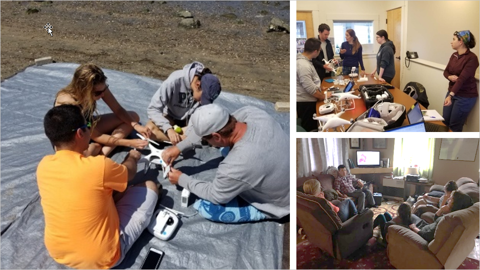
Drone with MSTI K12 Summer Camp
Drone and GIS technologies are utilized for K12 education in the Mineta Summer Transportation Institute. Students earn college credits and learn drone operations and aerial mapping under Dr. Bo Yang's instruction.
Read More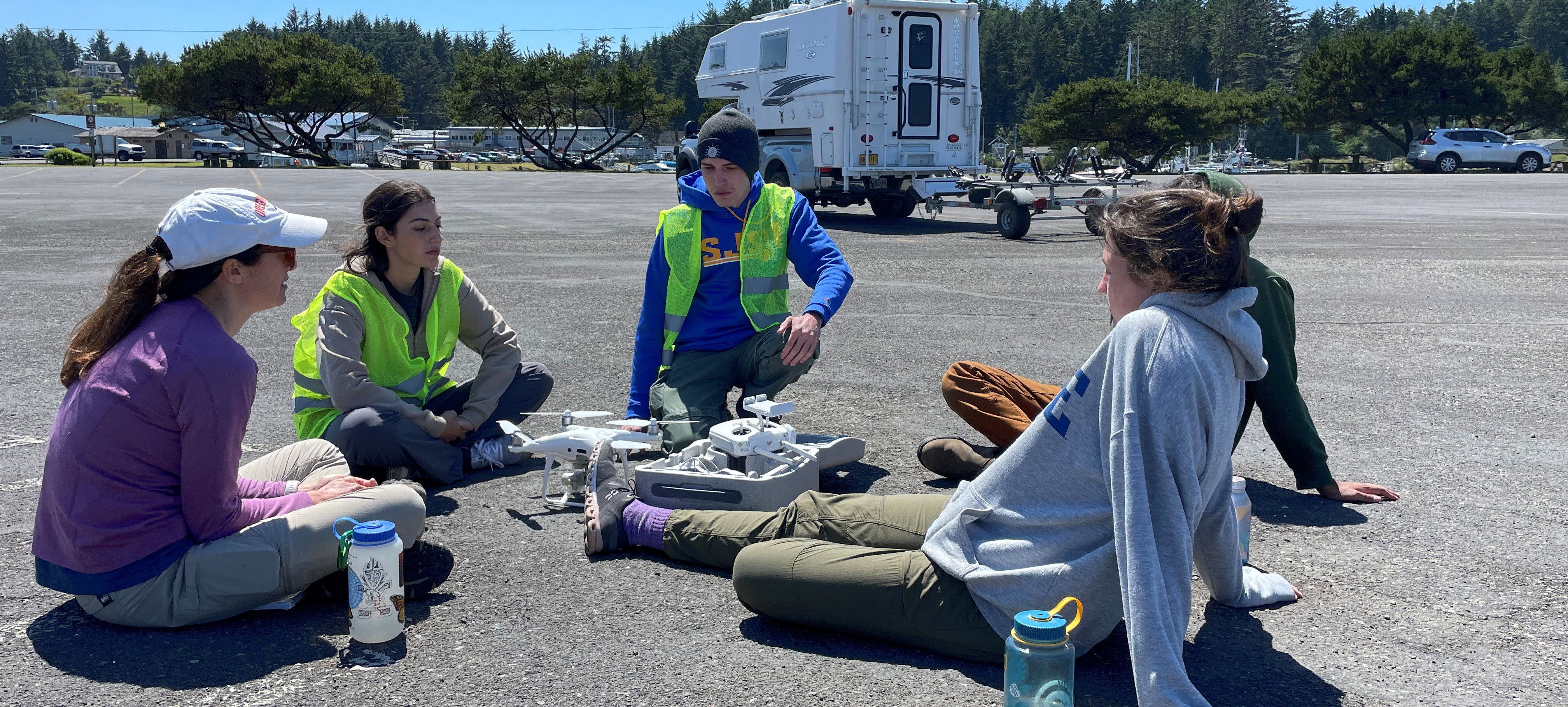
GIS and Drone Society
The GIS and Drone Society welcomes individuals from all majors to explore GIS and drone innovations, with group field tours, study sessions, and community activities throughout the semester.
Read More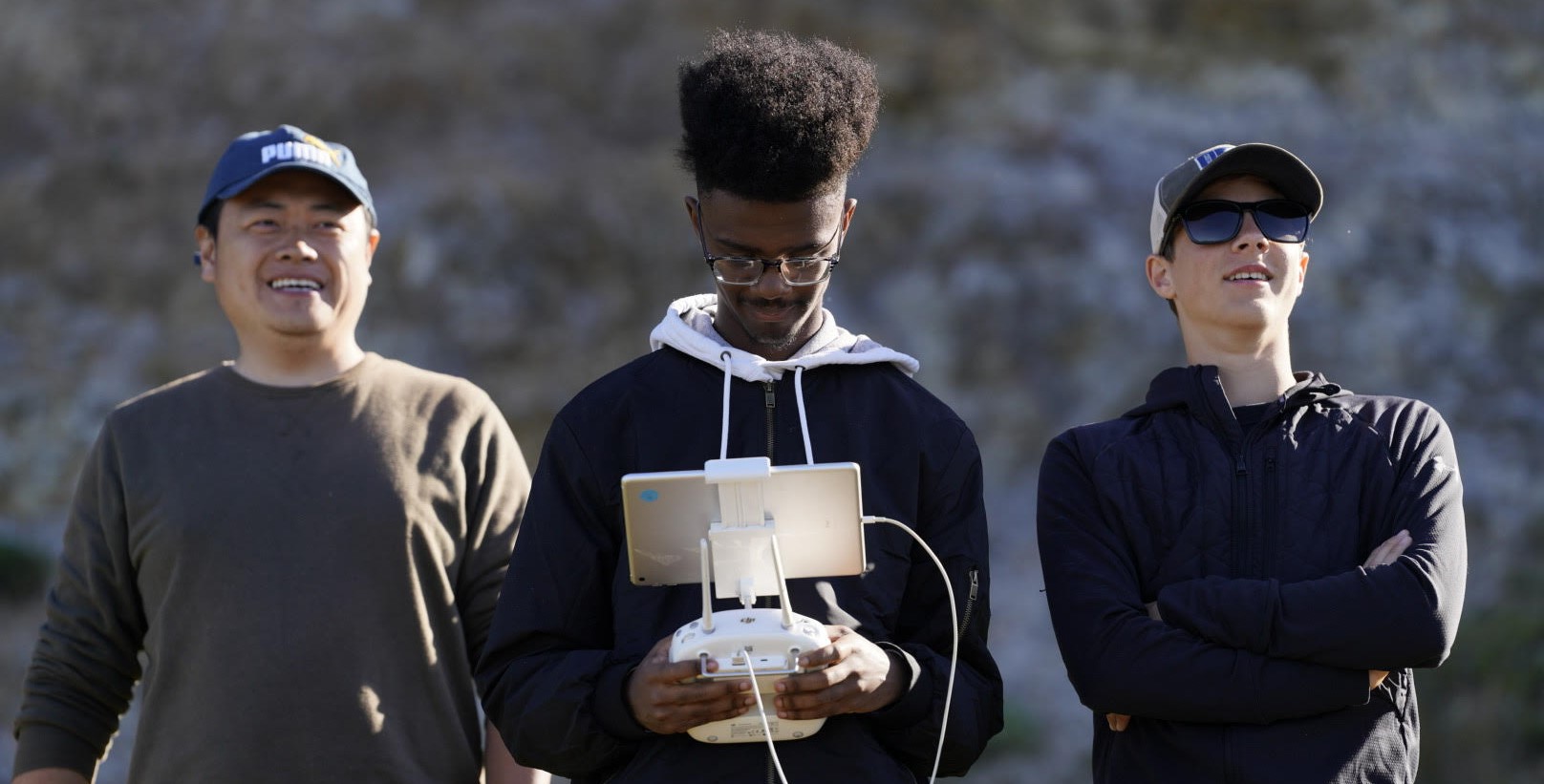
NSF Research Experience for K12 Teachers
Partnerships with K-12 science teachers transfer cutting-edge research into classroom content, developing inquiry-based science lessons using fieldwork data and UAV mapping principles.
Video Record