GeoFly Lab at UCSC conducts peer‑reviewed research in GIS, remote sensing, and UAV-based mapping, supported by NSF/NASA/CalFire funding. We have 8+ years of UAV field operations and data collection, and curate a high‑resolution aerial imagery (120,000+). We develop reproducible geospatial workflows for analysis, modeling, and education. GeoFly Lab leverages GPU-accelerated computing to enable scalable data processing and machine-learning applications while training for drone-enabled geospatial research.
01-20 2026
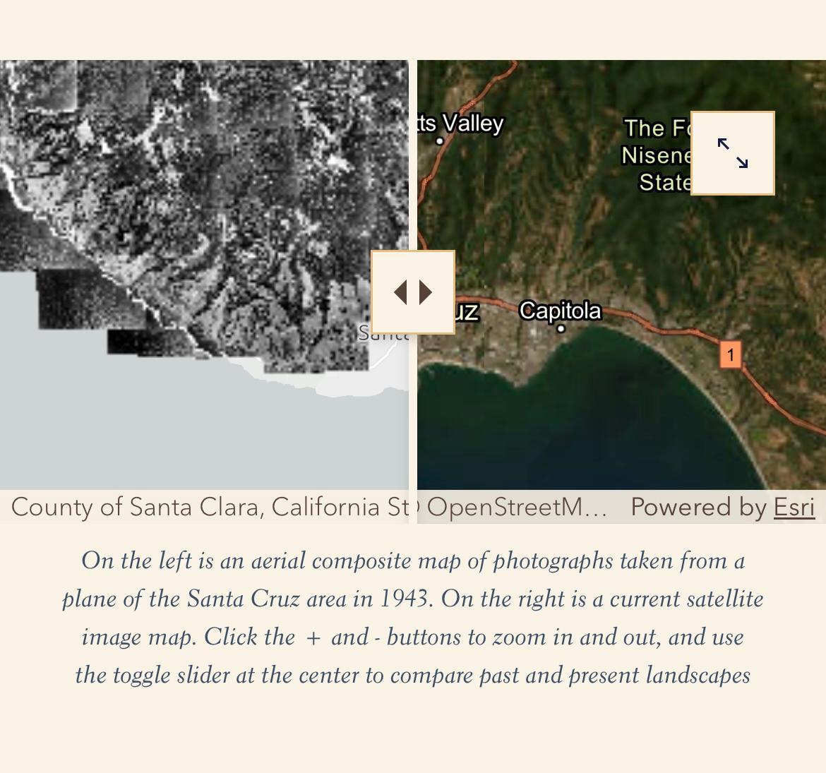
GeoFly Lab Members Contribute to 'Histories of Fire and Industry in the Santa Cruz Mountains'
01-21 2026
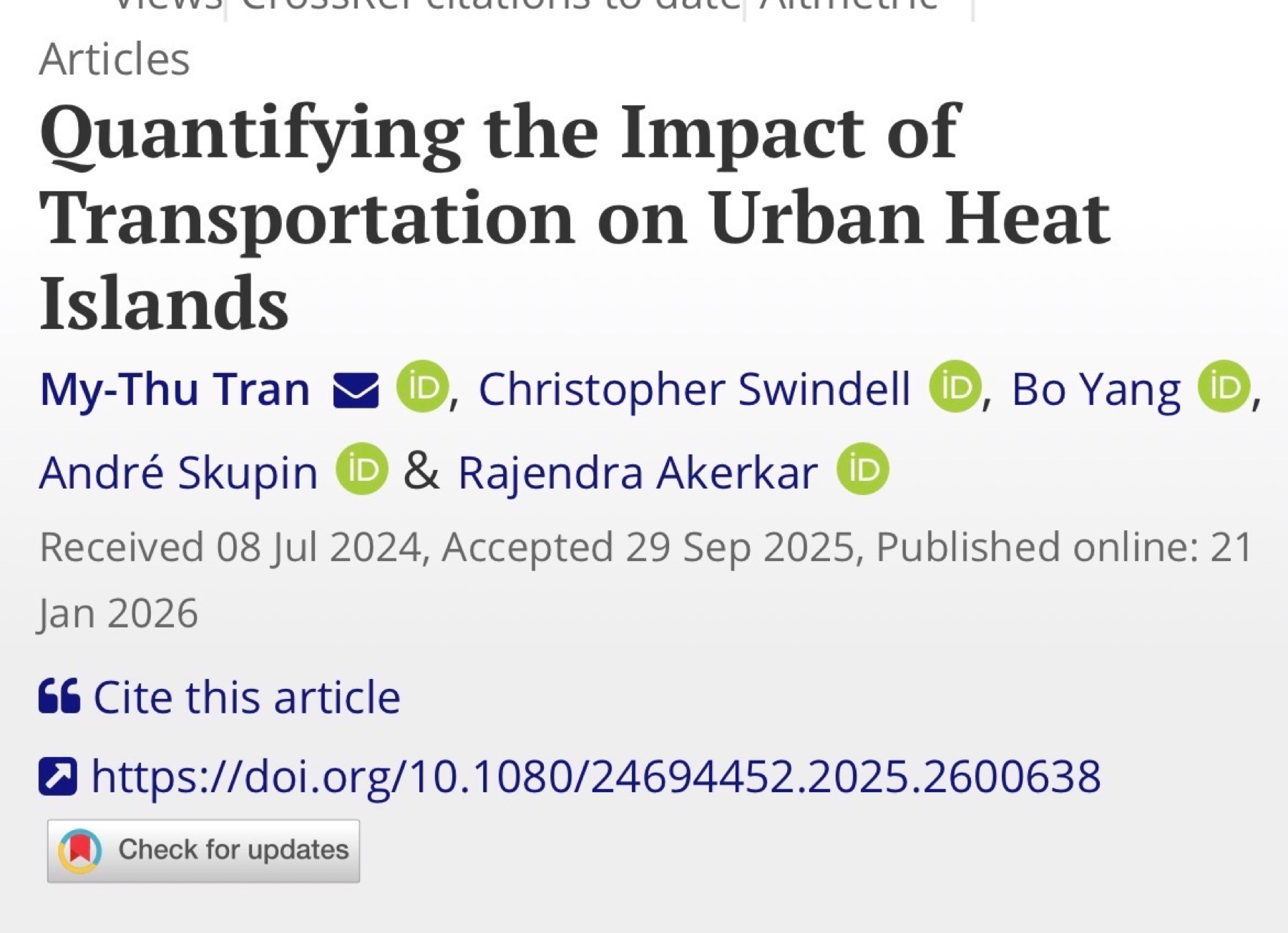
New paper in Annals of AAG: thermal remote sensing of traffic impacts on urban heat during COVID-19
01-15 2026
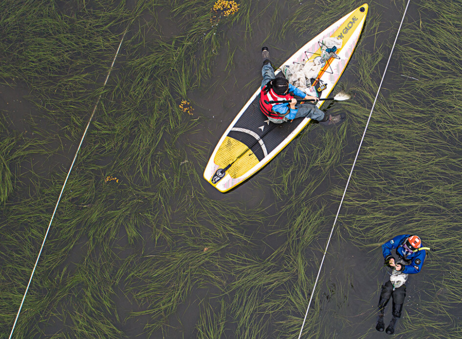
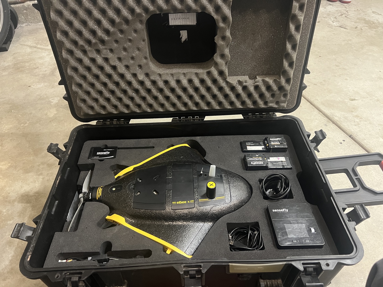
GeoFly Lab welcomes a new eBee X drone for our NSF seagrass mapping project
12-30 2025
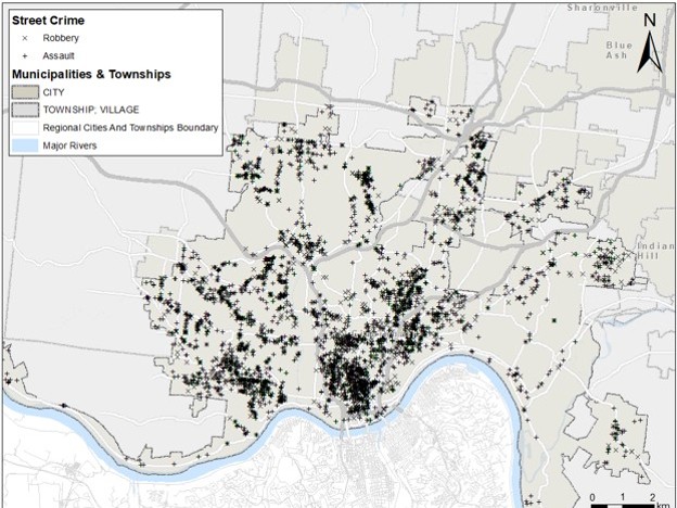
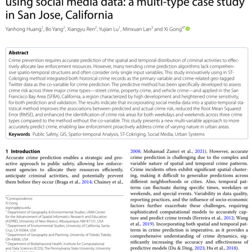
New paper: crime prediction using Twitter data in San Jose
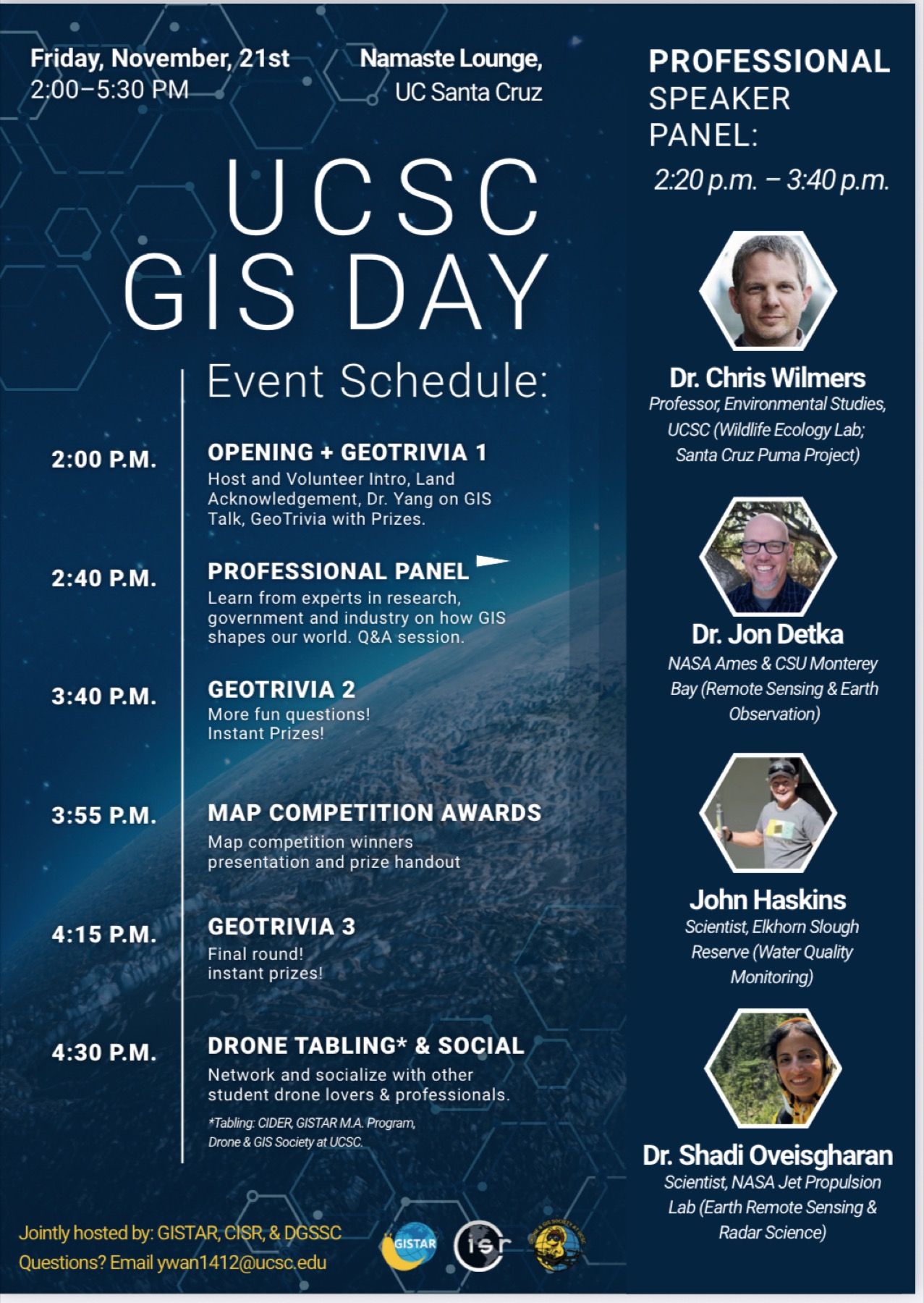
11-21 2025
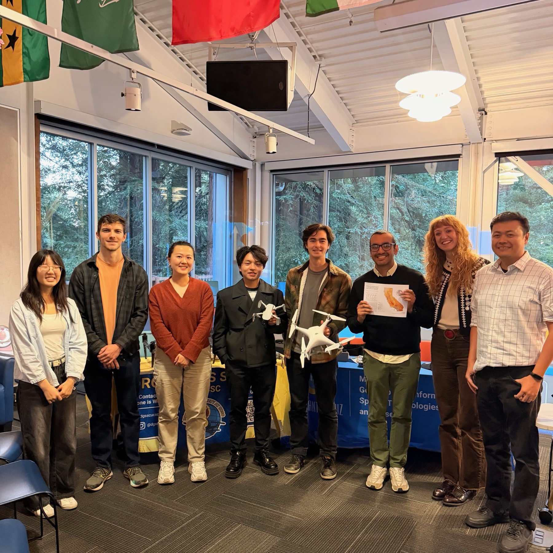
UCSC GIS Day 2025: Jointly hosted by GISTAR, CISR, GeoFly Lab, and the GIS & Drone Society
Support and collaboration across academia, government, and community organizations.