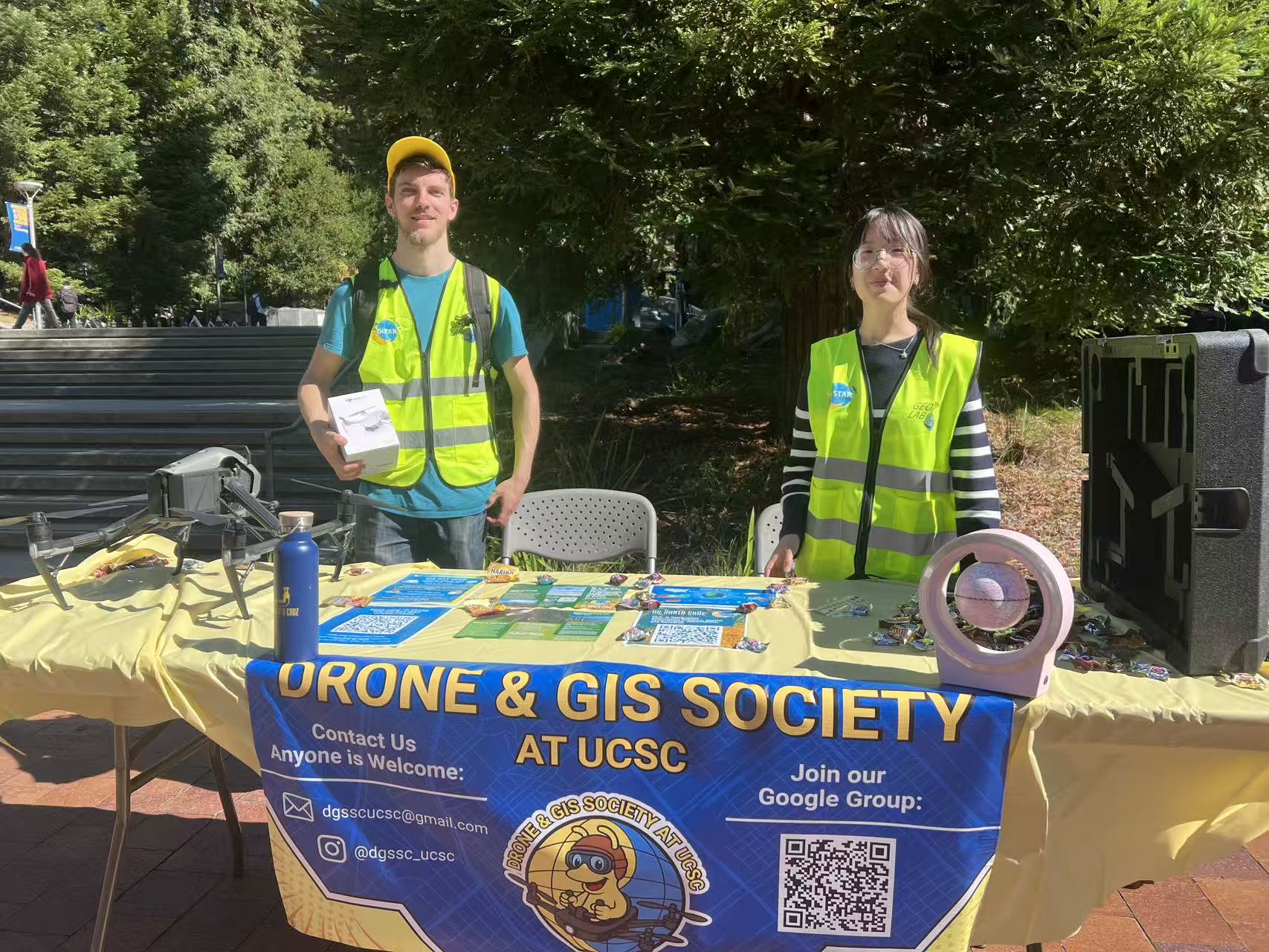
Drone & GIS Society Featured at Baskin Day
On Thursday, October 17, the Drone & GIS Society represented UCSC’s growing geospatial community at Baskin Day 2025 in the Baskin Courtyard. Students and visitors learned about current projects, upcoming events, and opportunities to get involved in drone and GIS activities on campus.
The team also hosted a hands-on AR Sandbox Workshop in E2 Room 506, where attendees explored real-time terrain modeling and visualization. The session provided an engaging way to connect with GISTAR master’s students and discuss applications of spatial technologies across research and environmental studies.

The event highlighted the strong student interest in drones, mapping, and spatial data science at UCSC. For future updates, follow the Drone & GIS Society on Instagram at @dgssc_ucsc or contact the team at dgsscucsc@gmail.com.

(Photos: Drone & GIS Society at Baskin Day, 2025)