GeoFly Lab led by Dr. Bo Yang at San José State University focuses on GIS, remote sensing, UAV,drones, spatial analytics, visualization, and urban data science.

Map Coastal Ecosystem
Collaborative research using UAV to investigate eelgrass wasting disease

Wildfire Modeling
Use multi-sensor remote sensing and drone mapping for modeling California wildfires

Urban Data Science
Using machine learning and AI technologies for urban heat, urban crime, and urban transportation

Other Drone Mapping Projects
Browse more drone mapping projects, including mapping of an African American village, the Florida coastal area, hydrology BMP management, and the Serpent Mound archaeological site.
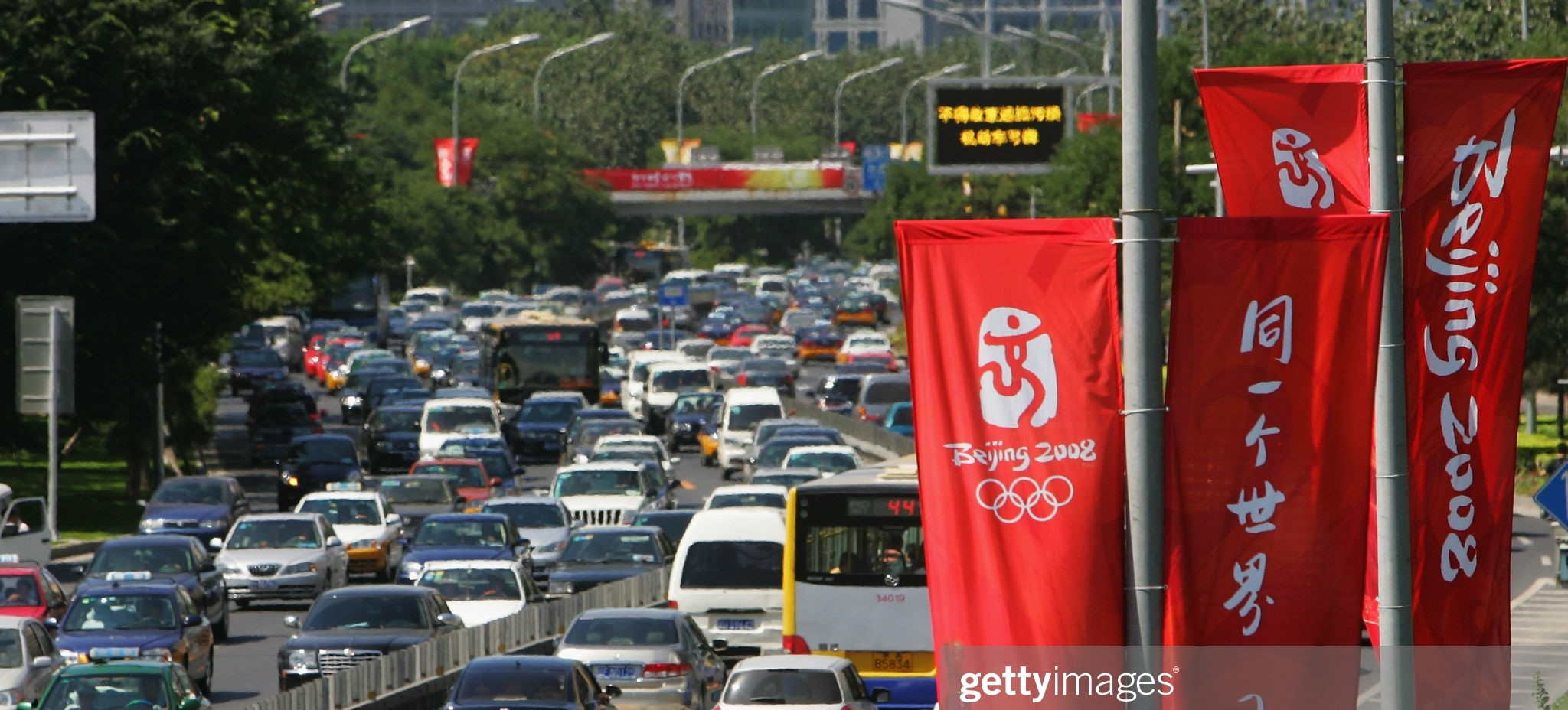
Urban Heat and Urban Transporation
We use thermal remote sensing and the urban heat budget to isolate and quantify the transportation impact on urban heat and climate change.
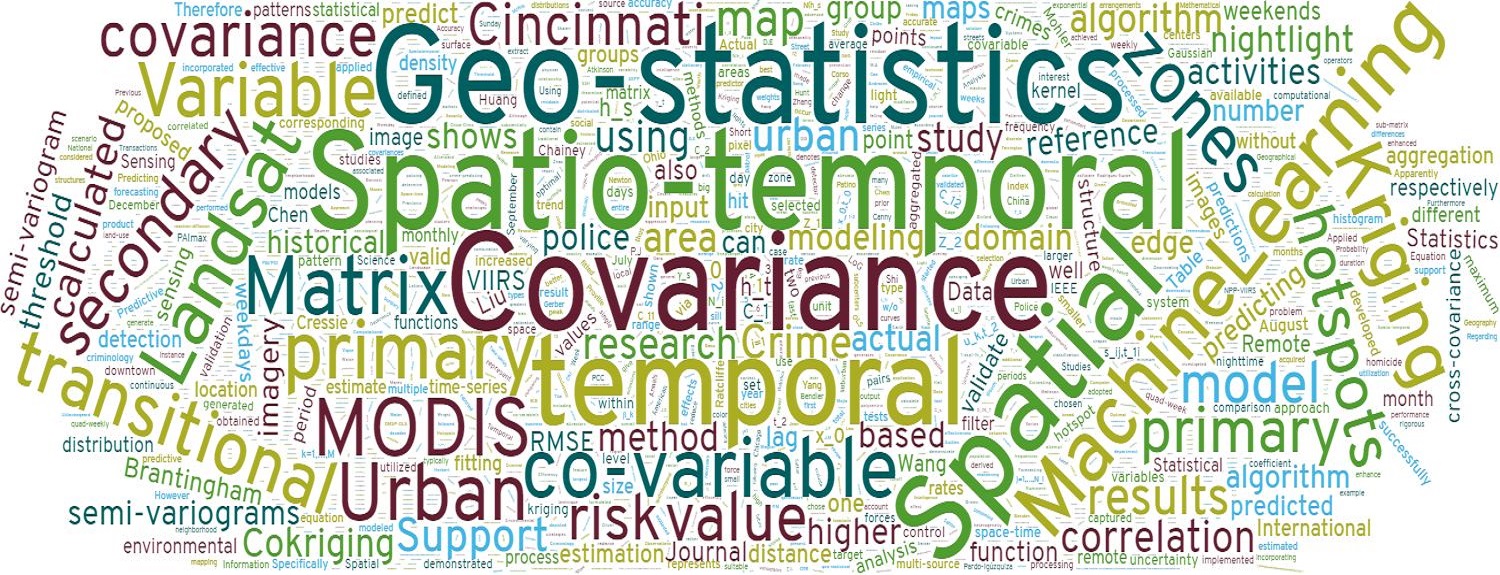
Crime Prediction and Spatial Statistics
We develop a novel geostatistical technique to integrate historical crime data and urban transitional zones identified from the VIIRS nightlight imagery for more accurate crime prediction.

ST-Cokriging and Image Fusion/Assimilation
We develop a spatio-temporal Cokriging (ST-Cokriging) method for assimilating multi-sensor remote sensing data that optimally determines parameters by accounting for spatio-temporal covariance. This method yields more reliable assimilation results than previous methods, effectively filling data gaps while providing quantitative uncertainty estimates.
Contact: San Jose State University - Department of Urban & Regional Planning, 1 Washington Square, San Jose, CA 95192